
2 months of Manipur crisis: An overview of relief camps through satellite pics
The genesis of the conflict in Manipur lies in the ethnic faultlines that have reportedly displaced over 60,000 people from their homes and placed most of them in 350 camps.
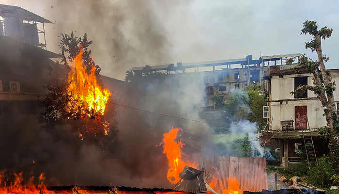
About 40,000 security forces have been deployed to quell the violence. But the situation is far from normal as locals strive to put together a life in relief camps, battling daily curfews, internet shutdowns, sporadic killings and arson.
India Today’s OSINT (Open-Source Intelligence) team pulled out a list of the relief camps temporarily set up in various areas near the Moirang and Khundrakpam Assembly constituencies.
To gain more insight into the relief operations, we utilised open-source satellite data from a Europe-based remote-sensing platform, Sentinel Hub, to visualise the set-up of the relief camps in areas worst affected by the violence.
Among the array of camps built by the government, we stumbled upon what appeared to be a huge relief camp in a white makeshift tent at Moirang Okshongbung Thoibi Thang-Ta Cultural Association. On further analysing satellite imagery, the white shade – about 80 m in length – is seen near a primary health care unit and Langpok Kakyai Upper Primary School, which is a likely location for the government to build temporary structures for the displaced.
In order to verify this, we created a timelapse of the area from May, when violence in the region was first reported in the nearby Tuibong village of Churachandpur. The area that looked like an open field in satellite images from April and May, now has a makeshift camp as seen in the imagery from the first week of June.
Over 103 such relief camps have currently been set up in the valley area in the inner ring of Manipur.